Bernard Ratzer Brooklyn Survey
Curated by Valerius • 1776 Battle of Brooklyn Jamaica Pass Encirclement
Artifact Details
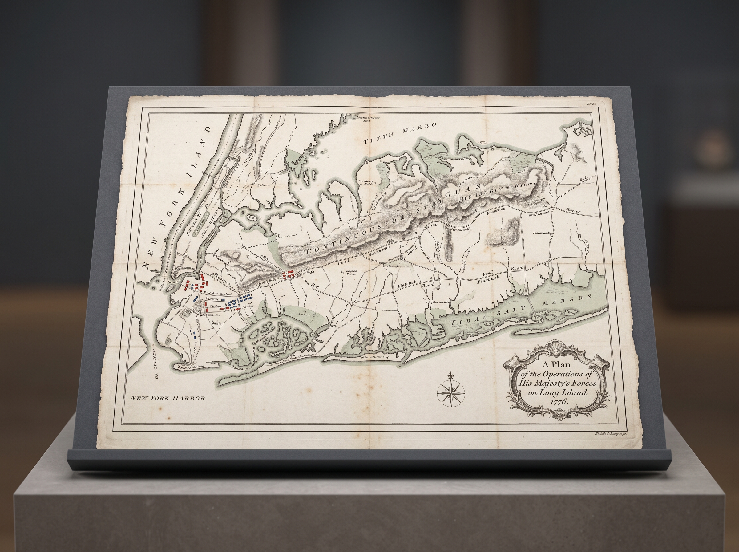
An authentic 1776 copperplate engraved military survey map of western Long Island and New York Harbor by Bernard Ratzer and William Faden, resting flat on a custom 15-degree inclined dark-grey archival conservation display cradle. The map is printed on handmade laid rag paper with visible laid lines, watermarks, deckled edges, and dissection seams mounted to archival backing cloth with original pocket-map grid fold creases. The cartography features exquisite 18th-century intaglio engraving with delicate hachuring defining the continuous forested glacial ridge of the Heights of Guan, winding country lanes (Bedford Road, Flatbush Road, and the Jamaica Pass route), tidal salt marshes with hand-tinted pale sage-green wash, and micro-engraved Dutch homesteads with tiny red and blue ink troop position blocks. An ornate engraved rococo cartouche in the corner reads 'A Plan of the Operations of His Majesty's Forces on Long Island 1776' with a miniature magnetic compass rose, delicate copperplate italic script, light age foxing spots, and zero modern canvas wrap edges or modern digital typography.
Primary Source
1776 Battle of Brooklyn Jamaica Pass Encirclement
In August 1776, thirty-two thousand British and German soldiers landed on Staten Island, forcing George Washington into a strategic dilemma: defend New York Harbor across separated landmasses or abandon the nascent capital without a shot. Washington divided nineteen thousand poorly equipped Continental troops across Manhattan and the rugged terminal moraine of Long Island. When General William Howe sent ten thousand soldiers through an unmonitored eastern mountain gap on the night of August 26, the entire American line dissolved within hours. Fixed defensive cordons provide zero protection once an exterior flank is turned, leaving survival dependent on disciplined tactical retreat rather than stubborn static defiance.
Read Study (16 min) →Artifacts
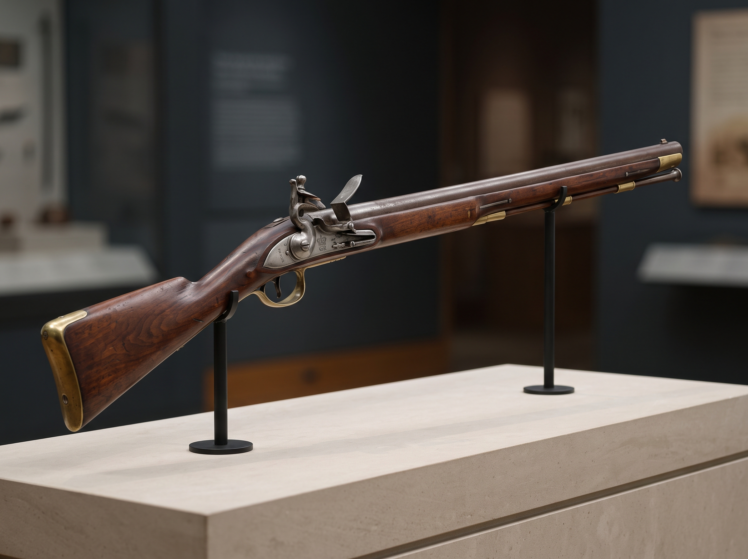
Pattern 1756 Long Land Musket
The standard .75-caliber smoothbore flintlock musket of the British infantry, capable of delivering three volleys per minute under rigorous drill.
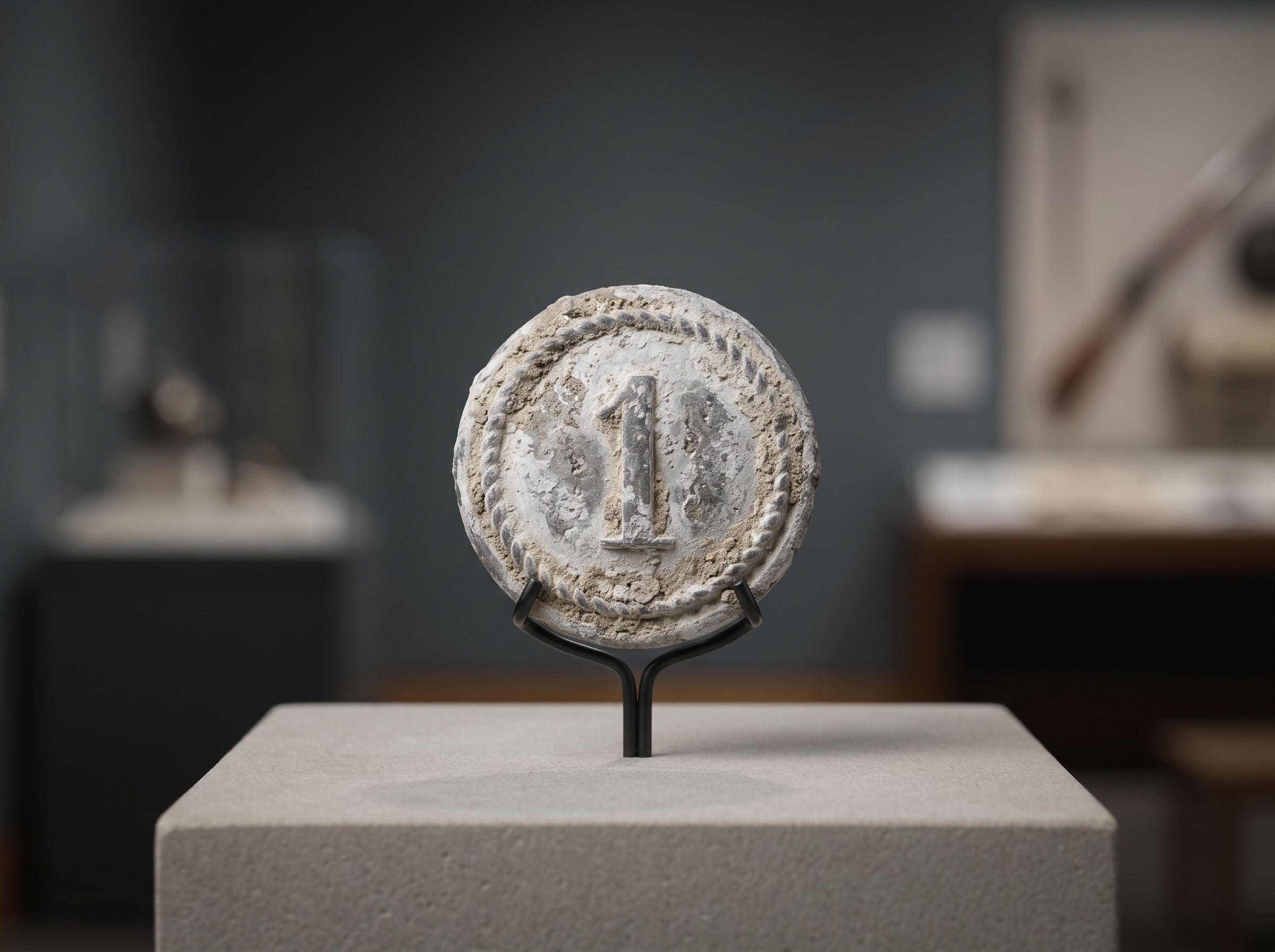
Pewter Maryland Regiment Button
Excavated uniform button from William Smallwood's 1st Maryland Regiment, worn during the desperate bayonet charges at the Old Stone House.
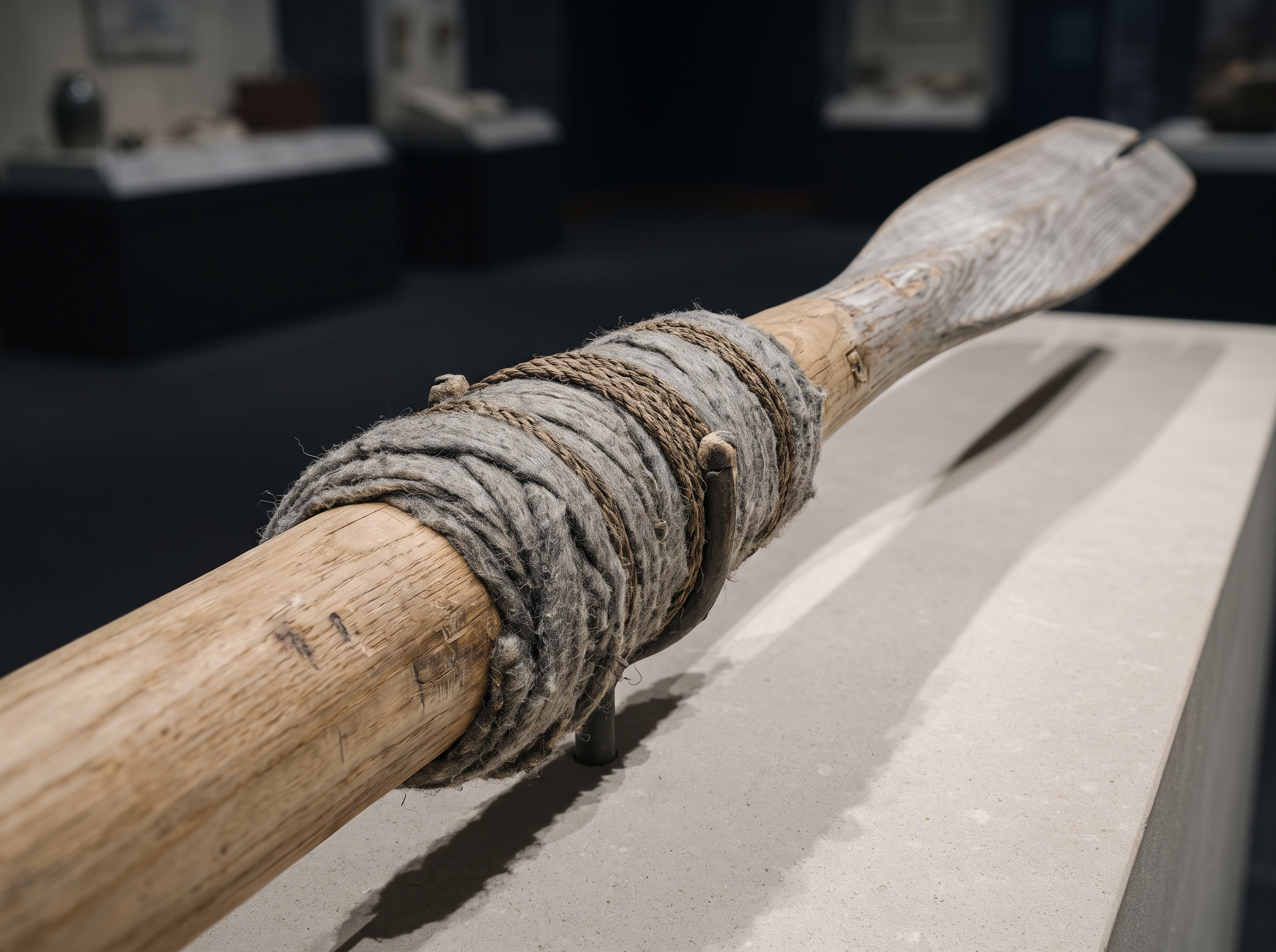
Marblehead Mariner Wooden Oar
Hand-hewn ash wood sweep oar wrapped in strips of homespun wool around the rowlock pivot to muffle sound during the midnight East River crossing.
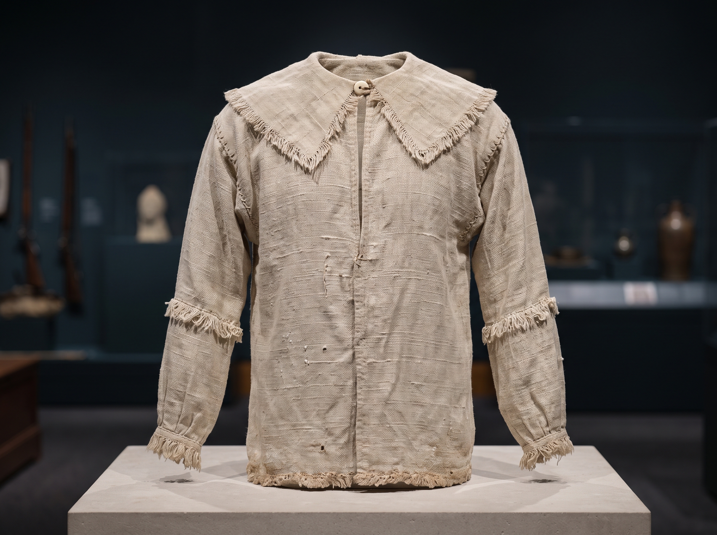
Fringed Homespun Hunting Shirt
Coarse homespun linen rifle frock with fringed cape and cuffs, the pragmatic civilian garment adopted as the Continental Army's first operational uniform.
Glossary
- terminal moraine: A ridge of unsorted glacial debris and steep forested hills spanning western Long Island, forming the physical obstacle known as the Guan Heights.
- jamaica pass: An eastern defile through the Guan Heights left virtually unguarded by Continental forces, enabling Howe to execute a complete flanking encirclement.
- 1st maryland regiment: An elite Continental infantry unit, comprised of roughly 260 to 400 young volunteers, that launched successive suicidal counter-attacks at the Vechte-Cortelyou House to cover the army's retreat.
- vechte-cortelyou house: A thick-walled Dutch stone farmhouse, known as the Old Stone House, converted into a British strongpoint commanding the Gowanus crossing.