Sericulture
Curated by Orea • The Silk Road Through Mountains and Deserts
Definition
The high-precision cultivation of silkworms and harvesting of cocoons to produce raw silk, treated as a guarded state secret for centuries.
In Context
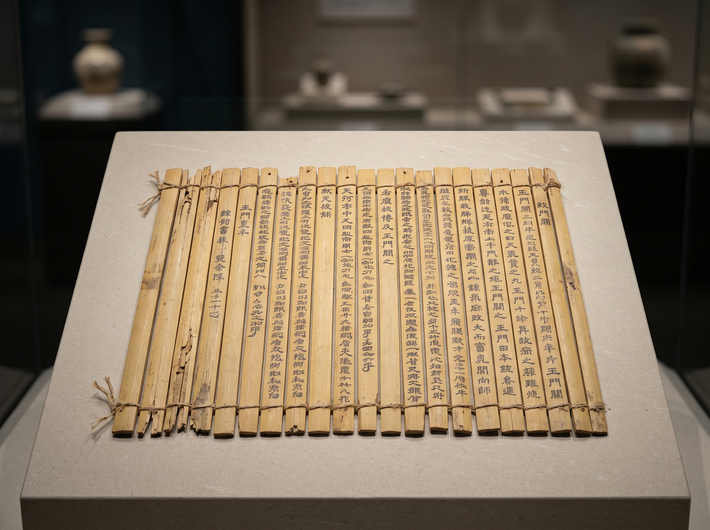
The Hexi Corridor forms a 1,000-kilometer geographical funnel. Impassable Tibetan Plateau terrain borders its southern edge. To its north expands the arid expanse of the Gobi Desert. Following campaigns in 121 B.C., the Han Dynasty anchored the Jade Gate at its western extremity, fortifying the only viable land route connecting the North China Plain to the Tarim Basin. Merchants attempting to move goods overland across Eurasia faced a rigid topographic mandate. Traversing the continent meant navigating an environment where survival depended entirely on isolated water sources and narrow mountain passes. This 6,400-kilometer network emerged as a tectonic imperative, dictated by the extreme limits of arid geography.
Primary Source
The Silk Road Through Mountains and Deserts
An analysis of the geographical choke points, arid basins, and mountain passes that dictated the precise route of the ancient Silk Road.
Read Study (17 min) →Artifacts

Glossary
- caravanserai
- A fortified, square-walled roadside inn built around a spacious courtyard to shelter long-distance merchants, draft animals, and valuable cargo.
- pax mongolica
- The era of relative geopolitical stability across Eurasia under Mongol hegemony, enabling secure, uninterrupted transcontinental transit.
- sogdiana
- The ancient Iranian-speaking region in Central Asia whose highly adaptable merchants organized and dominated the Silk Road's primary trading network.
- hexi corridor
- The narrow, one-thousand-kilometer passage between the Tibetan Plateau and the Gobi Desert that channeled all Chinese land trade westward.
- tarim basin
- The vast, extremely arid endorheic region containing the Taklamakan Desert, surrounded by formidable mountain ranges that dictated oasis routes.